The BCSWG employs early detection methods in order to fulfill its mission to eradicate invasive Spartina spp. along BC's coastlines. Throughout the year, members and volunteers of the BCSWG perform surveys spanning the entirety of all coastal areas that either have been infested or are currently infested by Spartina. By surveying areas that have been eradicated of Spartina, the BCSWG can stay on top of potential reestablishment.
In the earlier stages of the program, surveyors used Global Positioning System (GPS) units to track the spread of Spartina. As of 2017, however, surveying has been done using GIS-based smart device applications. These applications provide real-time tracking information, allowing the BCSWG to better advise surveying efforts and analyze and groom data.
For a breakdown of the steps used by volunteers and members of the BCSWG to survey for Spartina, see the diagram below:
|
STEP 1
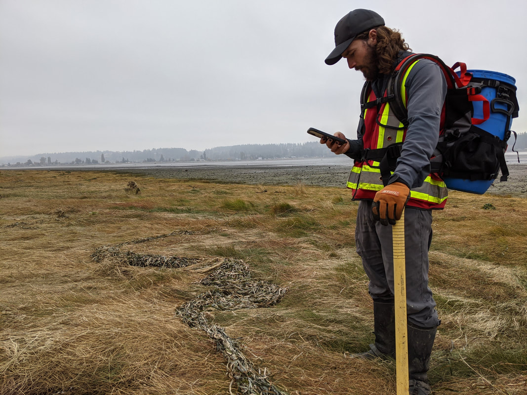
Surveyors enable the ESRI GIS application 'Collector' on their smart devices in order to generate real-time data of their movement. |
|
|
STEP 2
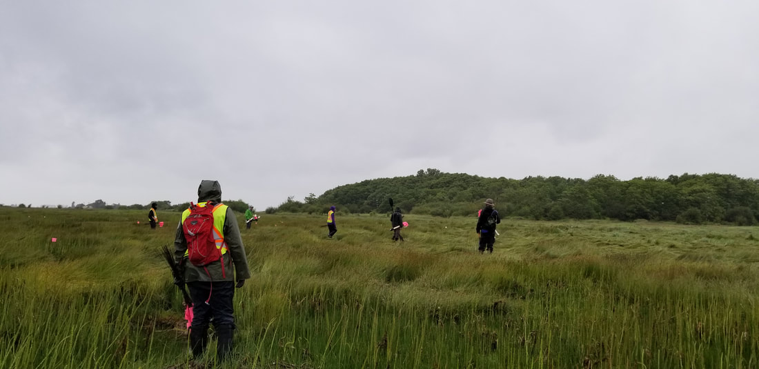
Surveyors search the coastal mudflat, cobble beach, and salt marsh areas for Spartina by walking in a 'zig-zag' pattern parallel to one another in what we refer to as a transect. |
|
STEP 3
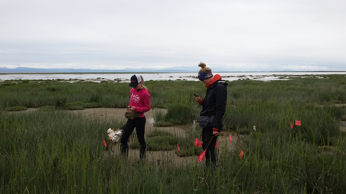
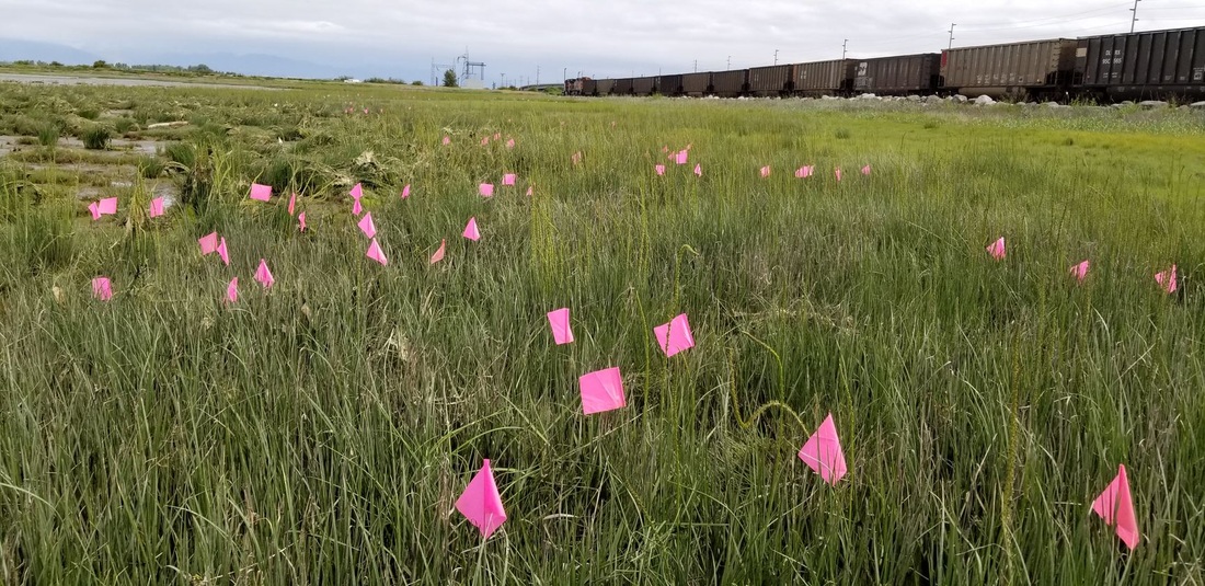
When a clone of Spartina spp. is found during a transect, surveyors record its size and location using the ESRI GIS application 'Survey123' on their smart devices. |
|
|
STEP 4
Depending on the species of Spartina that is found, the clone is either dug up and removed from the site or it is flagged for later treatment. Mechanical removal is the primary treatment method for S. Densiflora while chemical treatment has been used for S. Patens and S. Anglica since 2015. |
Interactive Map Viewer
All data collected by surveyors is inventoried to the Invasive Alien Plant Program (IAPP) database. This database is hosted by the Government of BC. The collected data is used to inform decision making surrounding future eradication efforts.
The BCSWG has its own web map which houses all the data that has been recorded since the start of the program. This web map is provided for public use in helping visualize the extent of Spartina impact on shores of BC.
Click HERE to visit our interactive map viewer to see our inventoried and mapped Spartina data!
